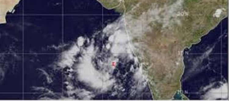
According to sources the southwest monsoon had hit kerala on june 1, the india Meteorological Department said. This is because of acyclonic circulation over the Bay of bengal which has helped in the faster progress of the monsoon. The country is also likely to receive normal monsoon this year. The IMD, in its onset date forecast on May 15, had said the monsoon is likely to hit the southern state on june 5, four days after its normal arrival. Meanwhile Cyclone Nisarga intensity is high in coastal areas of ap, karnataka and Maharashtra.
"A low-pressure area is likely to form over southeast and adjoining east-central arabian sea from May 31 to june 4. In view of this, conditions are very likely to become favourable from june 1 for the onset of southwest monsoon over kerala," the IMD said.A low-pressure area is the first stage of any cyclone. It is not necessary that every low pressure intensifies into a cyclonic circulation. A low-pressure area has also formed over the west-central Arabian Sea. It is very likely to concentrate into a depression over the same region during next 48 hours. It is very likely to move northwestwards towards south oman and east yemen coast during next three days, the IMD added.
Under the influence of this weather system, heavy rainfall is likely over parts of south peninsular india during May 28-31, with isolated heavy tovery heavy rainfall over kerala and lakshadweep during May 30-31.The IMD has also predicted heavy to very heavy rainfall at isolated places over Tripura and Mizoram in the next 24 hours and heavy rainfall overAssam and Meghalaya.


 click and follow Indiaherald WhatsApp channel